The
Portal Rodeo Hiking Club tackled the Basin Trail in the Chiricahua Mountains this week. The Basin trail (#246) is an easy lower elevation hike starting on Forest Service Road 42. Climbing 500’ in the first mile the trail descends for the remaining 4 miles arriving at Herb Marytr day use area. The hiking club added a side trip to Ash Springs for lunch before continuing as 2 separate groups. One group headed to Herb Marytr to pick up a car while the other group continued along the stream down to FS 42 and then back along the road past the research station to the original meeting place. The respective distances hiked were 5+ miles and approximately 9 miles.
The forest is in good condition, all the streams were running clear, but the route passes through several areas where effects of fire were evident. With the arrival of the monsoons there is ground cover and many trees thought to be lost with the fire show evidence of new growth. A single rock rattle snake was found along the trail hiding under a small shrub along the trail. It sat quietly while photographed. Below is a screenshot of the route taken and some of the sights along the way. The hiking map may be found
here or in the sidebar.
 |
| Basin trail and side trip to Ash Spring |
 |
| Yucca with seed pods on the Basin Trail |
|
 |
| A view south from the Basin Trail |
 |
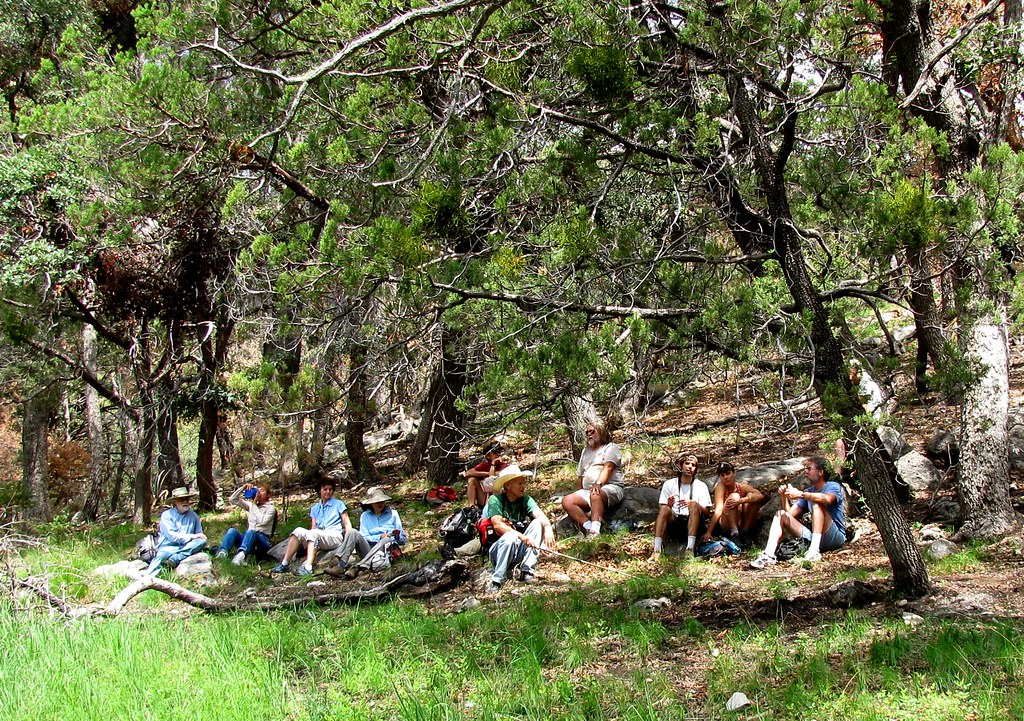
Lunch at Ash Spring with the Portal Rodeo Hiking Club. Chiricahua Sky Island Rodeo
is hiding behind the tree on the left. |


It was great to see all the green! AND to hear Linda tell of MORE green up by Pine Park compared to a couple weeks ago.
ReplyDeleteIt is great you map the hikes.
ReplyDeleteThe lower elevations within the interior of the Chiricahua Mountains look very good after the fire. Considering the reports that came out during the fire one would think the whole mountain range burned down.
ReplyDelete